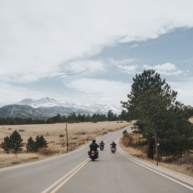
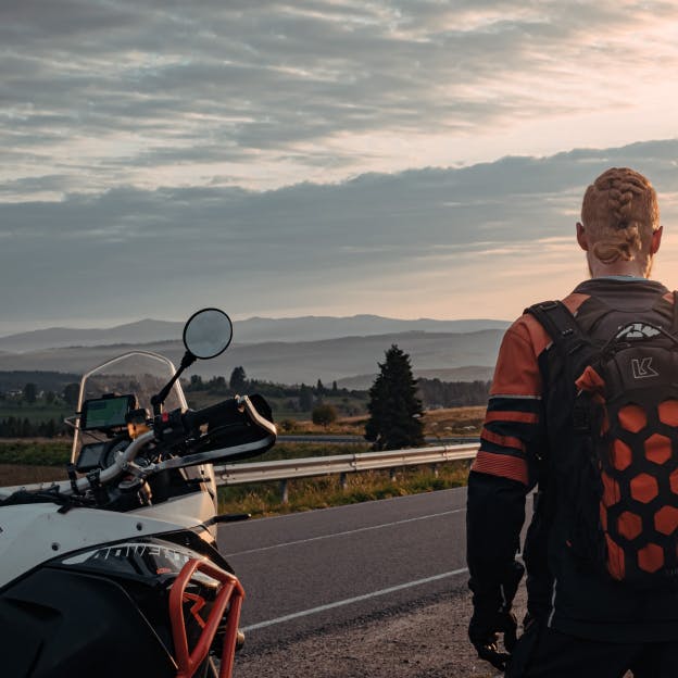
Best motorcycle routes in
Chaves
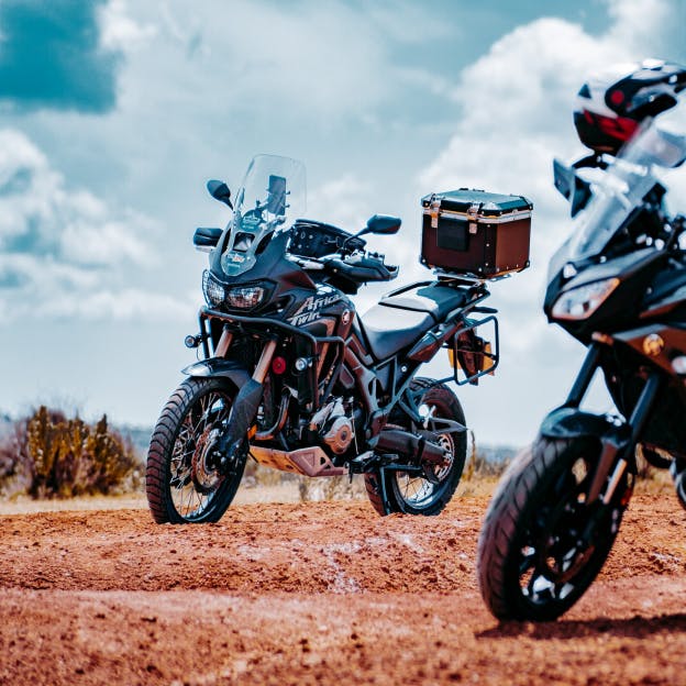
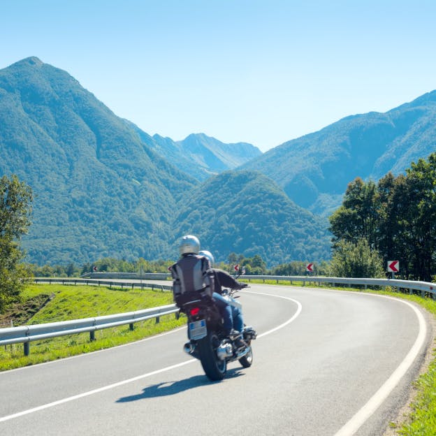
Best motorcycle routes in Chaves
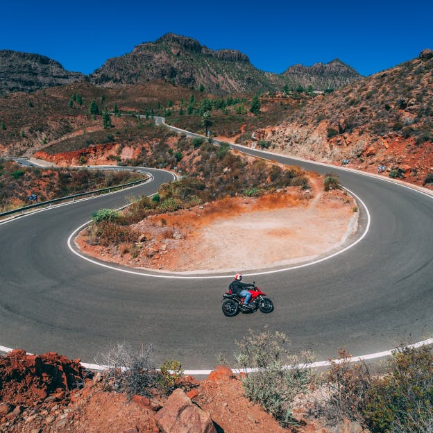
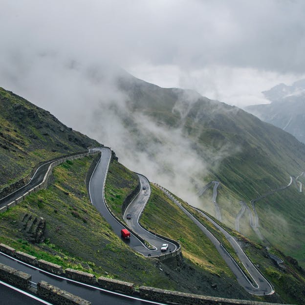
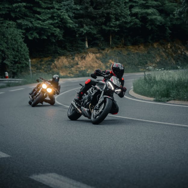
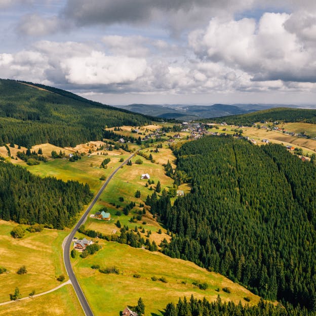
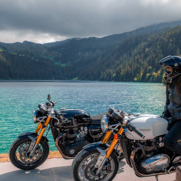
Ready to check out the best motorcycle routes in Chaves? Detecht has 67 great routes in Chaves for all kinds of riders...


Fast

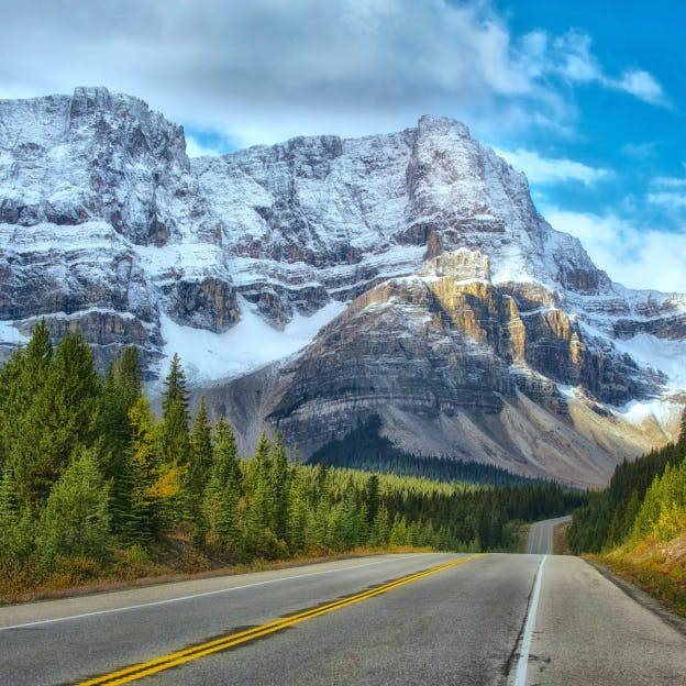
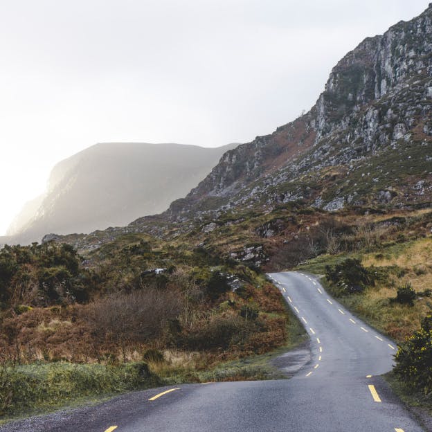
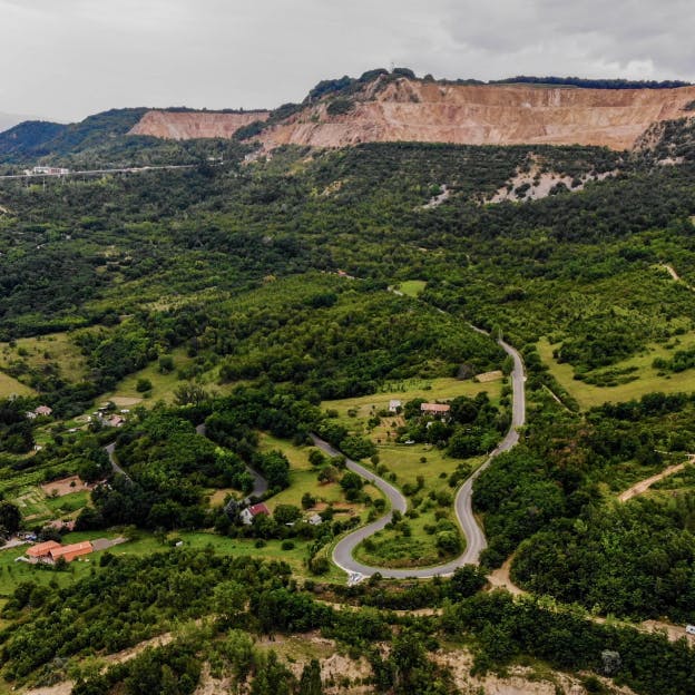
Terrain

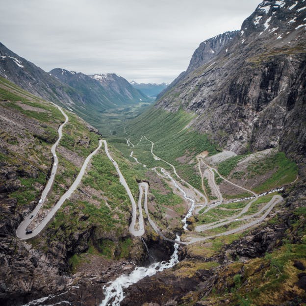
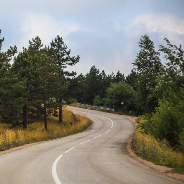
Curvy

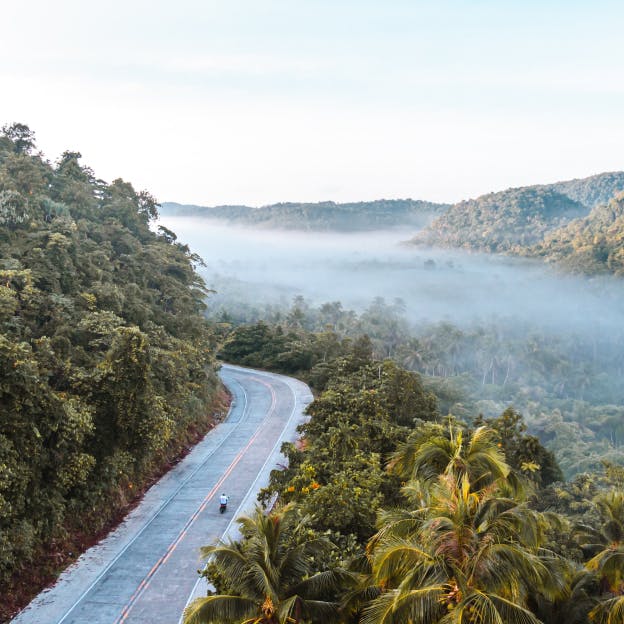
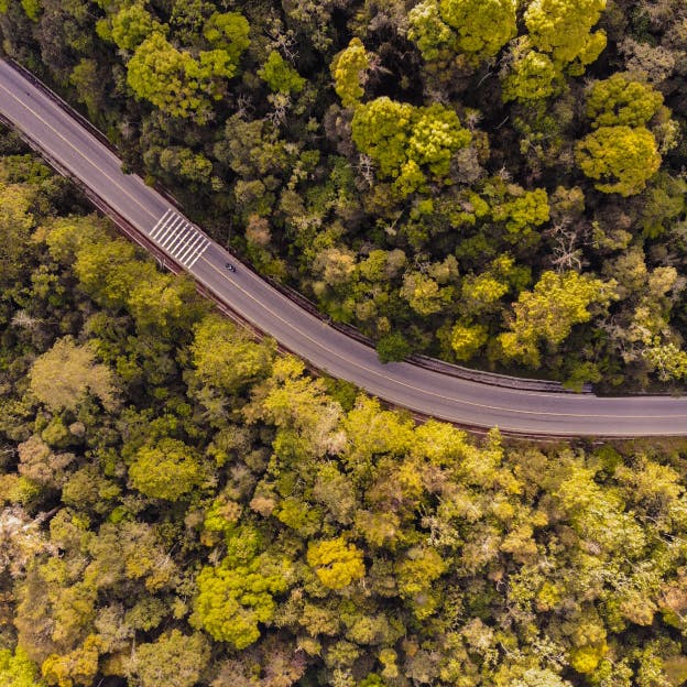
Forest

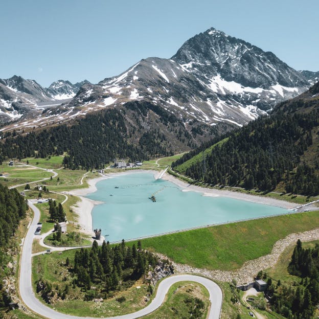
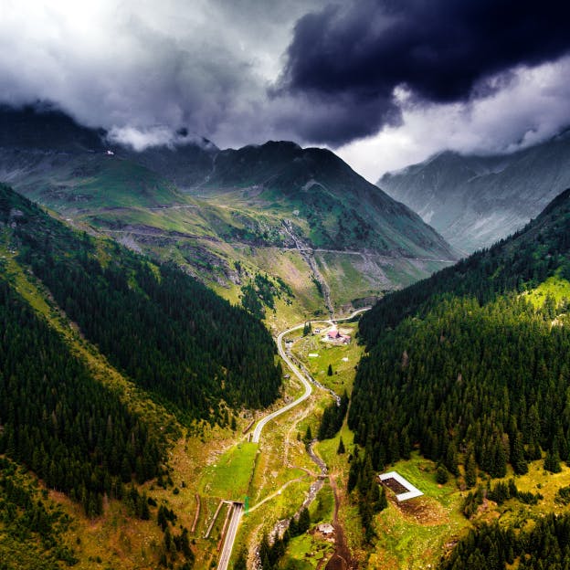
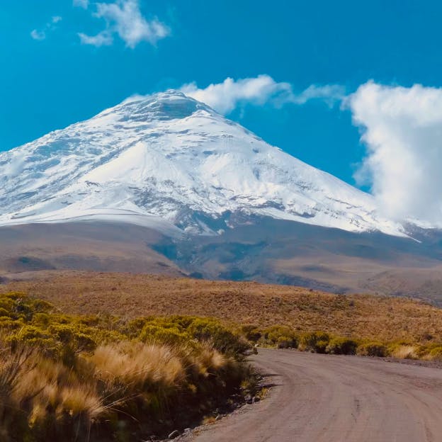
Mountain

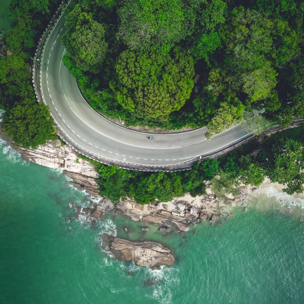
Water

Fields

City
Top Routes
- #1N2 - Chaves to Lousã
Renato Queirós
Elevation
921 m
Distance
316 km
Est. Time
6 h 13 m
- #2#124 🗞️ EN2 – Dia 1: De Chaves a Santa Comba Dão, com alma, curvas e tradição
Luís Pimentel
A aventura pela lendária Estrada Nacional 2 arrancou oficialmente esta manhã, com partida simbólica em Chaves (Km 0). O primeiro dia revelou-se intenso, com cerca de 300 km de pura diversidade paisagística e cultural, num percurso marcado por vilas acolhedoras, miradouros de tirar o fôlego e momentos para recordar. A primeira paragem foi em Vila Pouca de Aguiar, terra de águas puras e história romana. Seguiu-se Vila Real, onde a imponência das serras já começava a marcar o ritmo da estrada. A rota prosseguiu por Santa Marta de Penaguião, já mergulhada nas vinhas do Douro, até alcançar o espetacular Miradouro da Sarmadã, com vistas de cortar a respiração sobre os socalcos durienses. Atravessando o icónico Peso da Régua, a viagem ganhou novos tons com o Douro a brilhar sob o sol de final de outono. A subida até ao Santuário de Nossa Senhora dos Remédios, em Lamego, foi uma verdadeira peregrinação sobre duas rodas, coroada com uma vista panorâmica sobre a região. O dia terminou em grande com a chegada a Santa Comba Dão, ponto final de uma etapa marcada pela beleza natural, calor humano e o primeiro grande sabor de estrada vivida. 🛵🛵🛵🛵🛵🛵🛵🛵🛵🛵🛵🛵🛵🛵🛵🛵🛵🛵🛵🛵🛵🛵🛵🛵🛵🛵🛵🛵🛵🛵🛵🛵🛵🛵🛵🛵🛵 🗞️ EN2 – Day 1: From Chaves to Santa Comba Dão, with soul, curves and tradition The adventure along the legendary Estrada Nacional 2 officially began this morning, with a symbolic departure in Chaves (Km 0). The first day proved to be intense, with around 300 km of pure landscape and cultural diversity, on a route marked by welcoming villages, breathtaking viewpoints and moments to remember. The first stop was in Vila Pouca de Aguiar, a land of pure waters and Roman history. Next came Vila Real, where the imposing mountains were already beginning to set the pace of the road. The route continued through Santa Marta de Penaguião, already immersed in the Douro vineyards, until reaching the spectacular Miradouro da Sarmadã, with breathtaking views over the Douro terraces. Crossing the iconic Peso da Régua, the journey took on new tones with the Douro shining under the late autumn sun. The climb to the Sanctuary of Nossa Senhora dos Remédios, in Lamego, was a true pilgrimage on two wheels, crowned with a panoramic view of the region. The day ended in style with the arrival at Santa Comba Dão, the final point of a stage marked by natural beauty, human warmth and the first great taste of the road.
Elevation
917 m
Distance
243 km
Est. Time
4 h 48 m
- #3Passeio noturno
Renato Queirós
Elevation
769 m
Distance
373 km
Est. Time
6 h 2 m
- #4N2. A Estrada Mais Longa de Portugal
Jorge Soares
Elevation
0 m
Distance
731 km
Est. Time
15 h 6 m
- #5Açude da Ribeira / Bobadela
Luis Pires
Estradas escorregadias
Elevation
996 m
Distance
458 km
Est. Time
6 h 46 m
- #6Chaves > Villanova
Miguel Sanches
Elevation
867 m
Distance
113 km
Est. Time
1 h 58 m
- #7Nacional 2 Chaves - Viseu
Miguel Ferraz
Nacional 2 Chaves - Viseu
Elevation
931 m
Distance
180 km
Est. Time
2 h 55 m
- #8Chaves
João Pedro Borges
Elevation
568 m
Distance
53 km
Est. Time
57 m 27 s
- #9Passeio noturno
Nelson Coelho
Elevation
457 m
Distance
64 km
Est. Time
1 h 6 m
- #10Chaves-Viseu
Juan Sibajas
N2 Portugal
Elevation
453 m
Distance
135 km
Est. Time
49 m 35 s


Showing 10 of 67